
To strengthen the use of science and technology in local agricultural planning, the Department of Science and Technology–MIMAROPA (DOST-MIMAROPA), in partnership with the Western Philippines University (WPU), conducted a Drone Mapping Training for Agricultural Applications from September 3–5, 2024, in Dumaran, Palawan. The activity forms part of the Innovation, Science and Technology for Accelerating Regional Technology-Based Development (iSTART) program for the province.
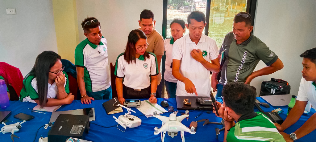
The three-day workshop aimed to build the capacity of local planners from the Municipal Government of Dumaran in drone operations and in applying drone technology for agricultural use, particularly for land assessment and crop monitoring.
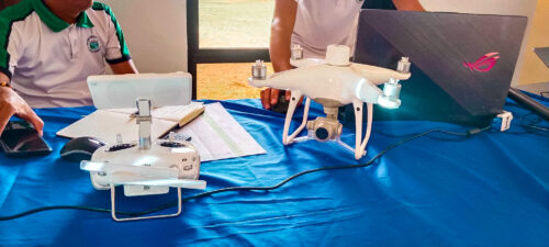
During the training, GIS mapping experts from WPU led hands-on sessions on drone flying and aerial image capture of rice fields. Participants learned how to process the captured data into detailed maps using Agisoft and ArcGIS software. At the end of the workshop, the trainees presented their own drone-generated maps showcasing their outputs.

The skills and insights gained from this activity are expected to support LGU-Dumaran in the formulation of its five-year Science, Technology, and Innovation (STI) Plan, which focuses on sustainable fishery and agricultural resource management. Through drone mapping, local planners can enhance their land-use planning, optimize underutilized areas, and improve the efficiency of their resource monitoring and permitting processes.
Mr. Reagan M. Venturillo, Assistant Professor from the Department of Forestry and Environmental Sciences under the College of Agriculture, Forestry, and Environmental Sciences (CAFES) of WPU, served as the lead trainer for the workshop.

To learn more about this initiative, read the full article on DOST-MIMAROPA’s website: https://region4b.dost.gov.ph/dost-mimaropa-and-western-philippines-university-host-drone-mapping-training-for-agriculture/
Photo credits: DOST MIMAROPA
[This article is in line with the SDGs 4, 8, 9, 11, 12, 13, & 15]